Origins of Halswell
The South-West area has a history of early Māori occupation, followed by European settlement.
Ngāi Tahu, and before them Ngāti Mamoe and Waitaha, maintained both permanent and temporary habitation sites within the area. Māori used the network of springs, waterways, swamps, grasslands and lowland podocarp forests that once covered Christchurch, to gather natural resources and harvest food. The area was, and continues to be, valued for the mahinga kai sites and as a significant link between the Ngāi Tahu settlements of Kaiapoi, Rapaki, Wairewa and Taumutu, and the resources of Te Ihutai (Avon-Heathcote Estuary), Te Waihora (Lake Ellesmere), Wairewa (Lake Forsyth) and Te Whakaraupo (Lyttelton Harbour).
The Halswell area was attractive due to its fertile soils, the availability of timber and rock in the nearby hills and its location en route to Banks Peninsula. By the early 1850s, almost all land in this area had been bought by European settlers for large sheep runs. The settlers drained the swampy land and established themselves on the slightly raised levees to provide some protection from floods. The Halswell area contributed timber and rock for construction, flax for fibre and a good proportion of the potatoes, onions, meat, vegetables, grains, cheese and milk for the city. A number of factories associated with these industries were established in the area. Many of the existing streets are named after these early settlers and founders of local industry.
As little as 300 years ago, the Waimakariri river flowed from the Southern Alps to the sea by way of Lake Ellesmere, leaving sandy river banks and shingle fans in its wake. When it took a new direction north towards Kaiapoi, the land form that resulted was the greater part of Christchurch as it is today.
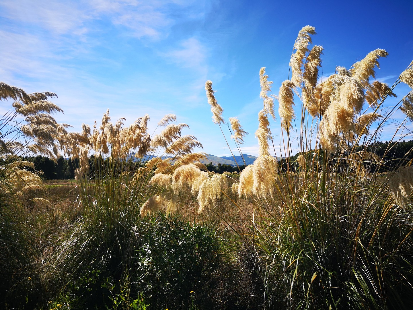
As the river settled into its new course, the land took shape and consolidated. On more than one occasion, as in the Great Flood of 1862, the river attempted to follow its old course and spilled over onto the settled land. A swamp skirting the hills from Heathcote to Motukarara produced well developed stands of flax which were later the basis of several rope manufacturing enterprises.
Some of the very fertile land left from the old river courses became known as the districts of Spreydon, Halswell, Tai Tapu, Ladbrooks, Greenpark and Lincoln. These areas were drained by a complex network of ditches and were destined to become highly productive dairy farms. Further towards the west, grain and root crops brought in steady incomes for the new settler farmers.
Halswell was originally part of the Heathcote Road Board in 1864, becoming an independent board in 1876. In 1911, it became a county under the Counties Act and was made part of the Paparua County in 1968. The physical detachment of Halswell from urban Christchurch, along with its fertile soil, made it a popular area for self sufficient religious orders such as Mount Magdala and the Carmelite Monastery (still located on Halswell Road).
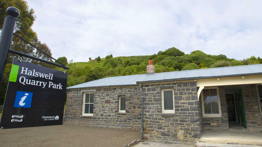
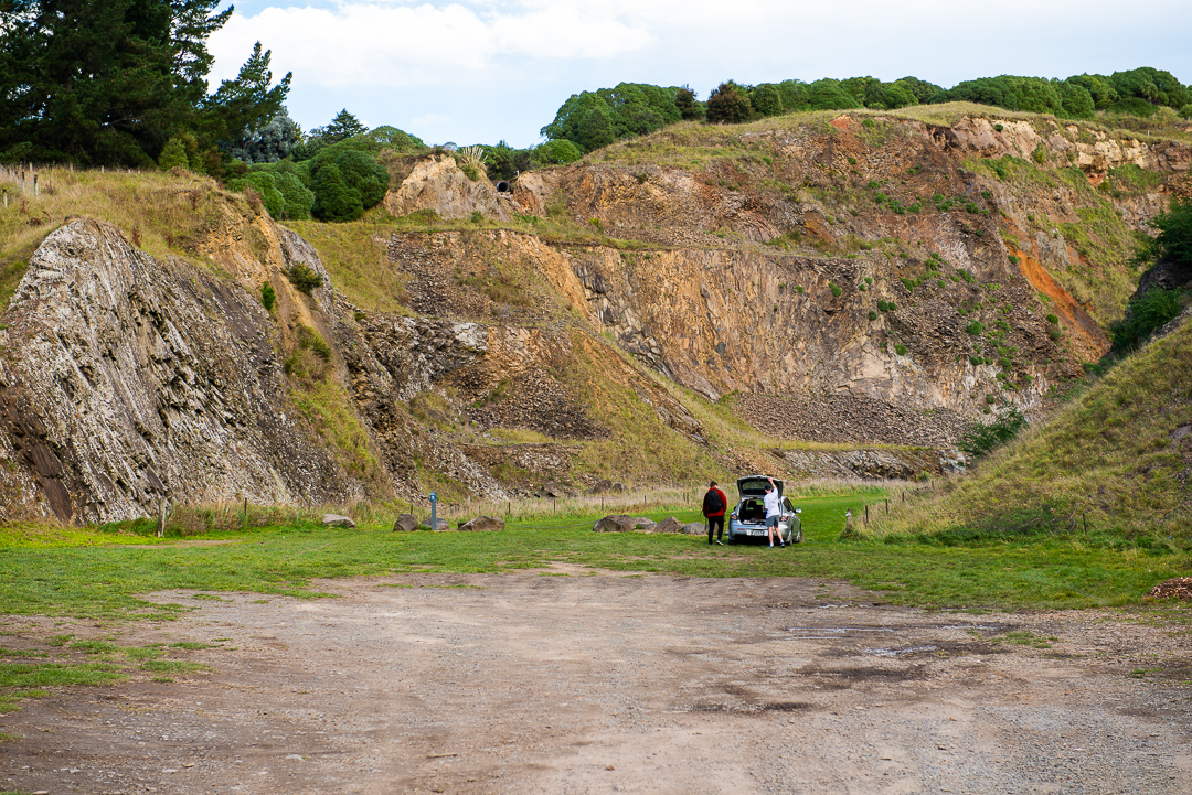
The township of Halswell was not officially recognised until the 1961 census but had been an established settlement long before that with the provincial government setting aside land for a school and church by 1857. The term “Halswell” for the area was first used in 1868 when the Southern Provinces Almanac was published – before that, it was known as a part of Tai Tapu. The Halswell Flax company was established in 1867 and the township was known for its fine farming and dairying with a good store, a bacon factory, and a good hotel, which was "much patronised by cyclists". There was also a school, and a church and the Quarry which developed into one of the largest in New Zealand. Halswell Quarry stone was used extensively in roading, but the fine blue-grey stone it produced can be seen in a number of prominent buildings around Christchurch such as the Provincial Chambers, Art Gallery and the Sign of the Takahe.
For many decades, Halswell was regarded as a satellite town, a thriving little independent township close to a large city, but on 1 April 1955, Halswell joined Greater Christchurch and came under the care of the Christchurch City Council. Until fairly recently, the village of Halswell was completely separated from the city geographically and it has only been with the development of new housing areas that Halswell and Christchurch have joined physically. Halswell is now one of the largest urban growth areas in the South Island but retains a semi-rural nature with a considerable number of green spaces and lakes, drainage swales and creeks curving through them.